Rivers, coastlines and estuaries
Rivers, coastlines and estuaries
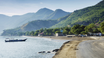
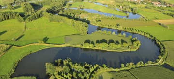
Climate change is manifesting itself particularly in coastal areas and vulnerable river systems. Adaptation to rising sea levels must be balanced with the viability of cities and towns. Landscapes must be laid out in a smart way, to limit the risks of flooding and drought. We must safeguard the availability of good quality water. Together with you, we build a resilient coast and rivers.

Hydrodynamic modelling
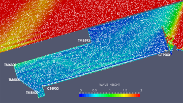
Antea Group develops state-of-the-art numerical models (1D, 2, and 3D) to calculate water run-off, tides, waves, and the transport of substances. These models are our basic toolkit to determine quantity and quality processes in catchments, rivers, estuaries, coastal and marine areas.
Hydrological processes are simulated on a smaller or larger scale with two objectives: (1) to obtain a clear analysis of the existing situation and (2) make a transition to an operational solution. Based on our extensive experience and technical expertise, we are able to suggest the real value of a numerical hydrological, hydraulic or hydrodynamic model.

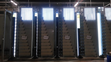
Sediment management
Following the implementation of the European Water Framework Directive, sediment is now considered an integral and essential part of our water systems. Sustainable sediment management therefore encompasses the entire soil-water system, from a local application to the river basin level, in which integrated solutions must be found within the various areas of application. We perform various studies in relation to this complex problem, including physical research with scale models and numerical research with hydraulic and sediment models and measurements. Where necessary, the design of sludge and sand traps is further developed, from a preliminary design to an implementation file.
Flood risk management
The impact of climate change, in combination with other anthropogenic evolutions, is analysed to calculate and map the risk of flooding from the sea and the rivers. These results enable sustainable adaptation plans with respect for green, blue and circular economies and ecosystem services. This also creates possibilities for nature-based solutions. We provide both the design and all (geotechnical) stability calculations for the necessary technical measures for flood control - flooding areas, dikes and all kinds of control structures.

Water balance and water availability
Suggesting solutions for an increased risk of water shortage requires a clear understanding of the water balance. We provide area-oriented studies into the availability of water (rainwater, surface water, groundwater, wastewater flows), water requirements and water consumption. We apply climate scenarios to this and make projections of the potential evolutions in water demand. The results enable us to identify risks, formulate policy-supporting advice, and develop a toolkit for operational management.
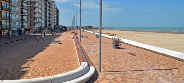
Climate-adaptive infrastructure
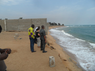
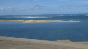
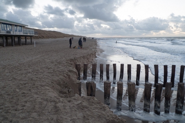
Coastlines around the world are under threat. Coastal erosion is accelerating everywhere as a result of the rising sea levels and the disruption of sediment processes. The risk of flooding from the sea endangers millions of people and would cause incalculable economic damage. Based on climate models, the modelling of wave movements, currents and sediment transport, we calculate these risks, devising smart measures to safeguard the future.

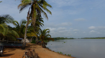
River and valley restoration
Climate change is causing long droughts and heavier rainfall, while our rivers and valleys are not adapted to these challenges. This results in droughts, water shortages, floods and poor structural quality in our watercourses. We are working on numerous river and valley restoration projects to improve our water systems naturally.
We meander rivers, design flood plains, build fish passages and construct protective levees where necessary. This way, we strengthen the contact between rivers and valleys and protect inhabited areas. From the very first preliminary design to permit and tender applications, we support the entire process, including studies such as modelling and stability calculations.